While sheltering in place may be a good option in certain emergencies such as being outside the immediate area of a local train derailment with a chemical spill, sometimes leaving your home is a safer option.
For example, in extreme weather events such as tornadoes and flooding, local authorities may determine that seeking out a shelter is a better option than staying in your home. Now that you’re leaving, where do you go?
The www.ready.gov/shelter is a Department of Homeland Security website providing important information about sheltering, where to go, what to bring, etc. In an emergency, search for open shelters by texting SHELTER and a Zip Code to 43362. Ex: Shelter 01234.
When pre-planning for a possible evacuation, you can get shelter location information by connecting with your local or regional American Red Cross office. Then, prepare in advance – know how to get there.
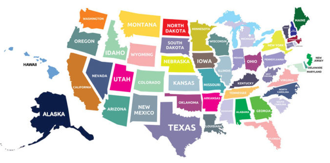
Paper maps are an excellent tool to help in planning, preparing and practicing with those around you. Once you know the location of shelters in your area, it’s a good idea to pinpoint them on a paper map and plan how you will get to that shelter by car, by public transportation and by foot. Once you’ve done the planning, share the information with your family and friends.
When the time comes to leave your home, knowing where you’re going and how to get there are important steps in keeping stress levels down and keeping your family safe.
